
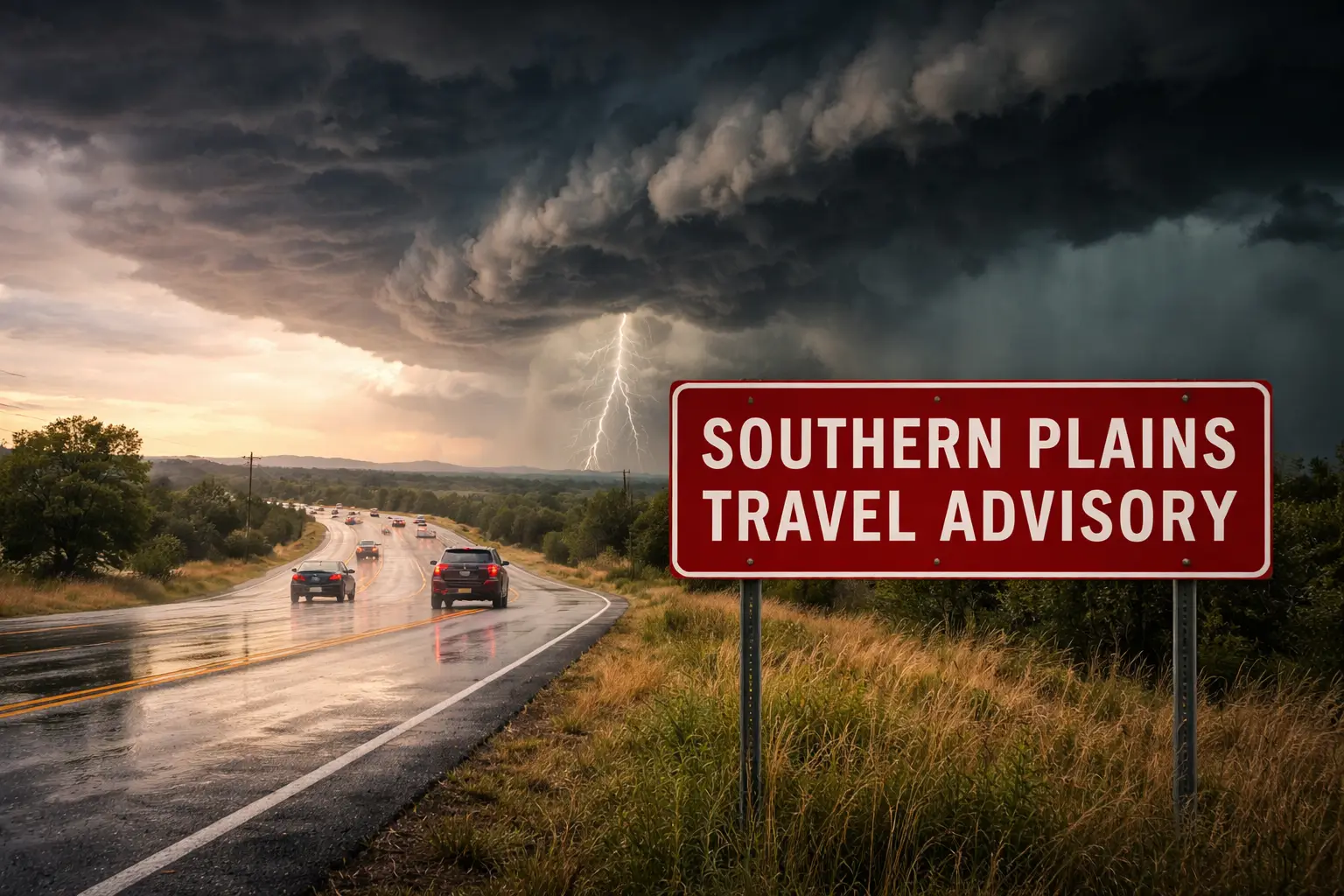
Travelers planning trips to the Southern Plains this week should prepare for potential weather disruptions as a developing storm system is expected to bring several days of heavy rain and severe thunderstorms to parts of Texas, Oklahoma and neighboring states.
Forecasts indicate a risk of strong to severe storms capable of producing large hail, damaging winds and isolated tornadoes. The most active periods are likely during the afternoon and evening hours, though conditions may vary by location.
Potential Travel Disruptions
Heavy rainfall could lead to localized flooding, particularly in low-lying areas and urban corridors. If storms repeatedly track over the same regions, flash flooding may occur, creating hazardous driving conditions and possible road closures.
Air travel may also be affected. Severe thunderstorms can result in flight delays, diversions or temporary ground stops at regional airports.
Rainfall: Needed but Possibly Excessive
While much of the Southern Plains has been experiencing drought conditions and could benefit from steady rainfall, the projected weather pattern may stall, allowing multiple rounds of storms through early next week. This increases the likelihood of excessive rainfall in some areas.
Advice for Travelers
Visitors and residents should monitor updated forecasts from local weather authorities, allow extra time for travel and remain alert to severe weather warnings. If driving, avoid flooded roadways and be prepared for rapidly changing conditions.
Travel plans may need to remain flexible as meteorologists continue refining projections in the coming days.