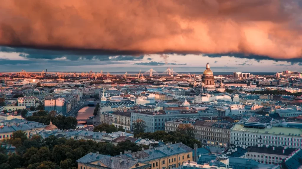
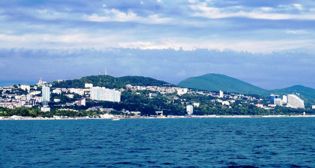
From ancient mountain ranges to ocean-sized lakes, from remote rugged wilderness to picturesque countryside, here are some of the most beautiful places in Russia to visit.
The Most Beautiful Places in Russia:
Lena Pillars is the name given to a natural rock formation along the banks of the Lena River in far eastern Siberia. The pillars are 150-300m (490-985ft) high and were formed in some of the Cambrian period sea-basins. The Lena Pillars National Park was inscribed on the World Heritage List in 2012.
Lake Elton is a salt lake in Volgograd Oblast, Russia, near the border with Kazakhstan. It has an area of 150 km² and is from 0.3 to 0.6 m deep.
The Valley of Geysers, of the most beautiful places in Russia, is a geyser field on the Kamchatka Peninsula, Russia, and has the second-largest concentration of geysers in the world. This 6 km long basin with approximately ninety geysers and many hot springs is situated on the Kamchatka Peninsula in the Russian Far East, predominantly on the left bank of the ever-deepening Geysernaya River, into which geothermal waters flow from a relatively young stratovolcano, Kikhpinych. Temperatures have been found to be 250 °C, 500 m below the caldera ground. It is part of the Kronotsky Nature Reserve, which, in turn, is incorporated into the World Heritage Site “Volcanoes of Kamchatka”. The valley is difficult to reach, with helicopters providing the only feasible means of transport.
Chara Sands – track in Kalar district of the Trans-Baikal region, representing a sandy area of about 10 km to 5 km. Located in the Chara basin, in the foothills of the Kodar. An array is a natural geological monument.
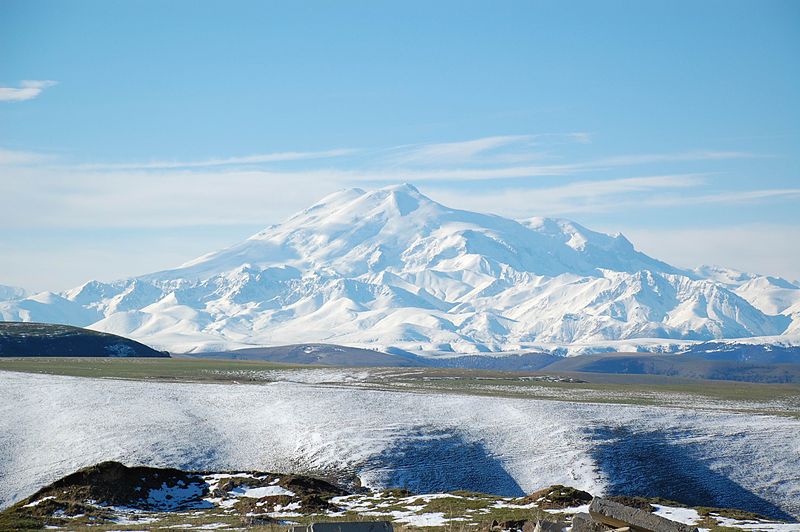
Mount Elbrus is a dormant volcano located in the western Caucasus mountain range, in Kabardino-Balkaria and Karachay–Cherkessia, the Russian Federation, near the border with Georgia. Mt. Elbrus’s peak is the highest in the Caucasus, in Russia.
Orda Cave is a gypsum crystal cave found underneath the western Ural Mountains. The mouth is near the shore of the Kungur River just outside Orda, Perm Krai in Russia. The cave system stretches over 5.1 kilometres (3.2 mi) with around 4.8 kilometres (3.0 mi) over the overall length being underwater. This makes it one of the longest underwater caves and the largest underwater gypsum cave in the world. It contains the longest siphon in the former Soviet Union (935 meters).
The Manpupuner rock formations or the Seven Strong Men Rock Formations or Poles of the Komi Republic are a set of 7 gigantic abnormally shaped stone pillars located west of the Ural mountains in the Troitsko-Pechorsky District of the Komi Republic. These monoliths are around 30 to 42 m high and jut out of a hilly plateau formed through the weathering effects of ice and winds.
The Curonian Spit is a 98 km long, thin, curved sand-dune spit that separates the Curonian Lagoon from the Baltic Sea coast. Its southern portion lies within Kaliningrad Oblast, Russia and its northern within southwestern Lithuania. It is a UNESCO World Heritage Site shared by the two countries.
Kungur Ice Cave is a karst cave located in the Urals, near the town Kungur in Perm Krai, Russia, on the right bank of the Sylva River. The cave is famous for its ice formations and is a popular tourist landmark.
Avacha Bay is a Pacific Ocean bay on the southeastern coast of the Kamchatka Peninsula. It is 24 km (15 mi) long and 3 km (2 mi) wide (at the mouth), with a maximum depth of 26 m (85 ft). Avacha Bay is large enough to fit any ship in the world.
Tyatya is a volcano located in the northeastern part of Kunashir Island, Kuril Islands, Russia. It is the highest peak on the island with an elevation of 1,819 metres (5,968 ft). Tyatya is one of the finest examples anywhere in the world of a somma volcano, a stratovolcano whose summit has collapsed to form a caldera which has then been mostly refilled by a new, younger volcanic cone which rises above the caldera rim.
Lake Kezenoy-am is a lake in Chechnya near the border with Dagestan, Russia that goes through Andiyskiy Khrebet (Andian Ridge); later the border of Dagestan went into Chechnya taking half of the lake in to Dagestan. The lake water has a year-round supply of oxygen in which plankton survive. Salmo ezenami, a rare species of trout, are native only to the lake; however, their population is threatened with extinction due to the introduction of European chubs (Squalius cephalus) which consume the fry of the Salmo.
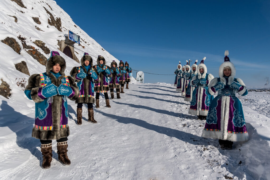
Oymyakon is a rural locality in Oymyakonsky District of the Sakha Republic, Russia, located along the Indigirka River, 30 kilometers (19 mi) northwest of Tomtor on the Kolyma Highway. With an extreme subarctic climate, Oymyakon is known as one of the candidates for the Northern Pole of Cold, the other being the town of Verkhoyansk. The ground there is permanently frozen (continuous permafrost).
Jack London Lake is a 10 km long and 50m deep mountain lake at 803m above sea level located in Annachag Mountains at the upper reaches of the Kolyma River in Yagodninsky district of Magadan Oblast. Jack London Lake was named in 1932 after American author, journalist, and social activist Jack London by Russian geologist P. Skornyakov. The lake contains four islands.
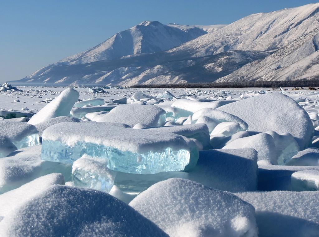
Lake Baikal, of the most beautiful places in Russia, is a rift lake in the south of the Russian region of Siberia, between the Irkutsk Oblast to the northwest and the Buryat Republic to the southeast. Lake Baikal is the freshwater lake with the greatest volume in the world, containing roughly 20% of the world’s unfrozen surface freshwater, and at 1,642 m (5,387 ft), the deepest. It is also among the clearest of all lakes and thought to be the world’s oldest lake at 25 million years. It is the 7th largest lake in the world by surface area.
